


Explore our website for more information about our services.
Ready to get started? Contact one of our engineers today to discuss your project.
-
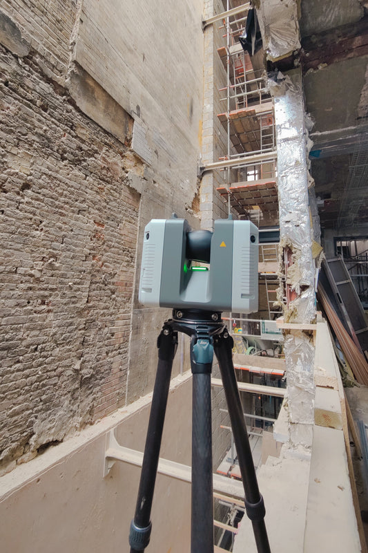
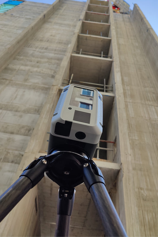
3D Scanning And Modelling
Regular price $0.00 GBPRegular priceUnit price per -
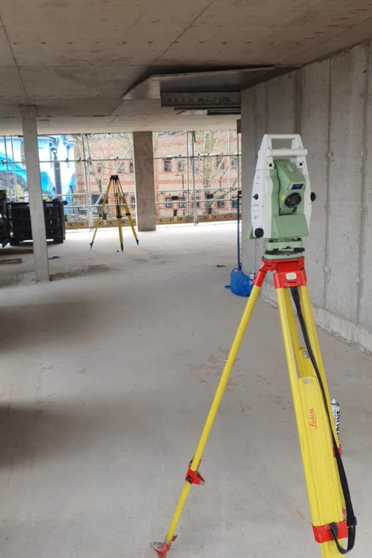
As Built Surveys
Regular price $0.00 GBPRegular priceUnit price per -
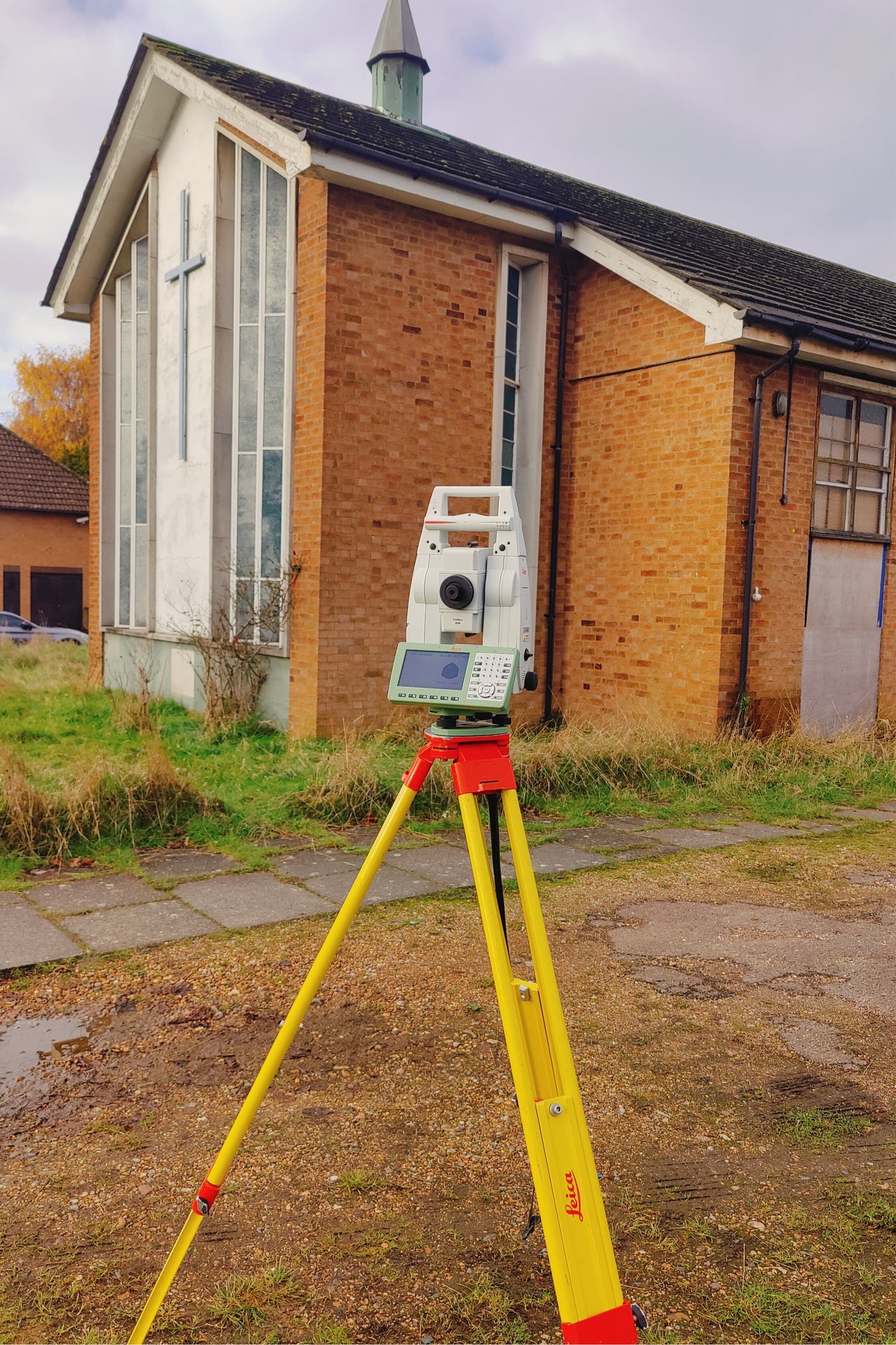
Full Measured Building Surveys
Regular price $0.00 GBPRegular priceUnit price per -
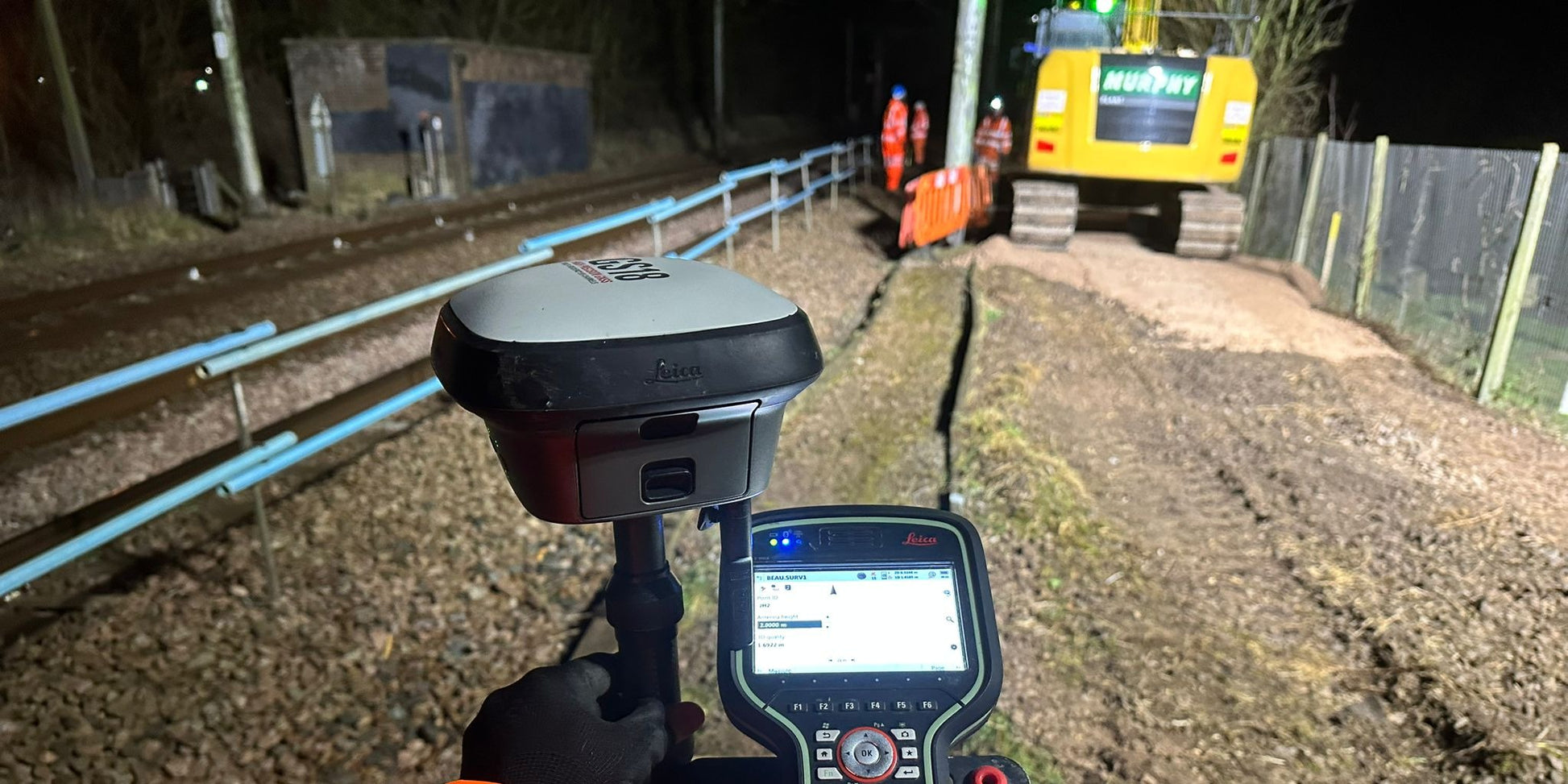
Site Control Networking
Regular price $0.00 GBPRegular priceUnit price per -
Site Setting Out Engineering
Regular price $0.00 GBPRegular priceUnit price per -
Structural Movement Monitoring
Regular price $0.00 GBPRegular priceUnit price per -
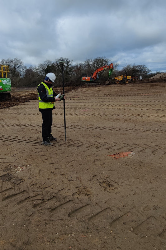
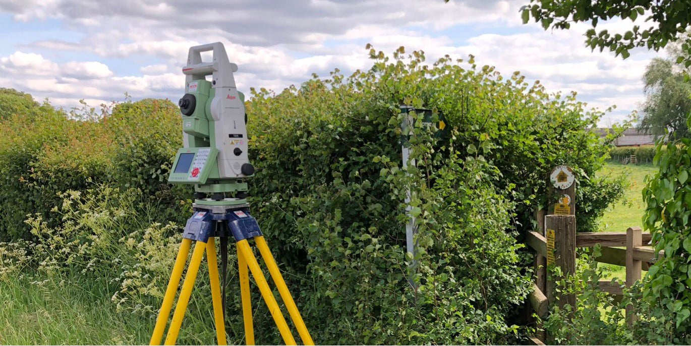
Topographical surveys
Regular price $0.00 GBPRegular priceUnit price per -
Volume and Stockpile Survey
Regular price $0.00 GBPRegular priceUnit price per